
Billy V
-
Posts
2,043 -
Joined
-
Last visited
10 Followers


Billy V's Achievements
0
Reputation
-
 I went with the 112
 -
I had a 60" on my Baron and switched to a 72" this spring. MUCH better performance - I'd go with the longer shaft for your 210.
-
Mexico 4/12
Billy V replied to spoonfed-1's topic in New York Fishing Reports - Lake Ontario (South Shore)
Boat looks great Glen! -
minn kota i pilot for auto pilot
Billy V replied to salmonite's topic in Questions About Trout & Salmon Trolling?
It's just being released as I type this so it's a bit hard to find, but after some looking around I found it here: http://www.bassdistributing.com/Marine/humminbird-lakemaster-chart-northeast-states-microsd-sd-6000452?search=lakemaster Here is today's press release right from Humminbird about it: Humminbird® LakeMaster's 2015 Releases now include new SouthEast and Western States versions including PLUS Editions EUFAULA, AL. March 24, 2015 LakeMaster just keeps on surveying, expanding coverage, and bringing even more lake maps to your Humminbird fish finders. The latest expansion in the LakeMaster cartography library is the new SouthEast Version 3 and new Western States Version 2 micro SD map cards. And LakeMaster didn't stop there. The new SouthEast and Western States regions are also available in the PLUS series that offer anglers aerial image overlay on High Definition waters. The detailed aerial views give light to fish-holding areas like the entry and exits of creek channels, how far a reef or weed line extends, and steep rock bars and drop-offs that extend out into the lake - all of which have been missing from traditional maps. [southEast Version 3]<http://cl.exct.net/?qs=051a22138edbece60c9d6fca0f1a2f3b1091569c6d6511befd584b67b40ed81745481c1005104e3e> SouthEast, Version 3 • Contours for over 570 lakes • 128 High Definition lake maps including these newly surveyed waters in stunning HD: Strom Thurmond/Wilson, Lauderdale* (GA/AL) Wheeler, Limestone* (AL) Mitchell, Coosa* (AL) Cave Run, Rowan* (KY) Enid, Yalobusha* (MS) Grenada, Grenada* (MS) Harris Chain, Lake* (FL) Visit the product page<http://cl.exct.net/?qs=051a22138edbece6ed7ff86c77957263c75cb136e43ea50ad729b450e8a0442be7fead3af5a2467c> for more information on product features like i-Pilot Link, images, complete lake list, lake elevations, GPS compatibility and more. [southEast PLUS]<http://cl.exct.net/?qs=051a22138edbece677b23283f09bd9cc54e7223f0806017c40b1108e62b7d80d312c754434da1f4f> SouthEast PLUS, Version 1 • PLUS allows for 3 layers of aerial image overlay on High Definition waters: Satellite Only, Satellite + Land, and Satellite + Contours • Contours for over 570 lakes • 128 High Definition lake maps including these newly surveyed waters in stunning HD: Strom Thurmond/Wilson, Lauderdale* (GA/AL) Wheeler, Limestone* (AL) Mitchell, Coosa* (AL) Cave Run, Rowan* (KY) Enid, Yalobusha* (MS) Grenada, Grenada* (MS) Harris Chain, Lake* (FL) Visit the PLUS product page<http://cl.exct.net/?qs=051a22138edbece644cf462139132347fc705192c66df42de9c5d6a8de5eda9d8e6f919046d0bfa3> for information on product features like i-Pilot Link, images, complete lake list, lake elevations, GPS compatibility and more. [Western States Version 2]<http://cl.exct.net/?qs=051a22138edbece6a43ef251c24001d4be869fdeaa1deb8063086a29b6a8dbac14c3160ec19d3188> Western States, Version 6 • Contours for over 1,050 lakes • Over 90 High Definition lake maps, including these newly surveyed waters in stunning HD: Medicine, Siskiyou (CA) Flatiron Res., Larimer (CO) McClure Res., Santa Fe (NM) Lookout Point, Lane (OR) Lost Creek, Jackson (OR) Visit the product page<http://cl.exct.net/?qs=051a22138edbece66ab9b5ceb6fdf842f296eae46a5cffeb069e5857673380ced2b36bee80cd2d47> for information on product features like I-Pilot Link, images, complete lake list, GPS compatibility and more. [Western States PLUS]<http://cl.exct.net/?qs=051a22138edbece642a78a1f18caf11ce6cde1441789b15e503022999fc508aa04f5265500d2fe9d> Western States PLUS, Version 1 • PLUS allows for 3 layers of aerial image overlay on High Definition waters: Satellite Only, Satellite + Land, and Satellite + Contours. • Contours for over 1,050 lakes • Over 90 High Definition lake maps, including these newly surveyed waters in stunning HD: Medicine, Siskiyou (CA) Flatiron Res., Larimer (CO) McClure Res., Santa Fe (NM) Lookout Point, Lane (OR) Lost Creek, Jackson (OR) Visit the PLUS product page<http://cl.exct.net/?qs=051a22138edbece64d1b5aff866fc4110bd3412fac697b428e2b9237e706bc1e03a9e380f8fed742> for information on product features like i-Pilot Link, images, complete lake list, GPS compatibility and more. New 2015 Humminbird LakeMaster Micro SD card releases * MidAtlantic Edition, Version 1<http://cl.exct.net/?qs=051a22138edbece67cc1cba281b7f6bf27b2e9316357f36c462b4a52676a671dfd93d51aa7826cae> * Minnesota Edition, Version 6 <http://cl.exct.net/?qs=051a22138edbece62e81cc94218d619871b026c77b621306b88ec972bf4641e902dd307a6b43dad2> * NorthEast Edition, Version 1<http://cl.exct.net/?qs=051a22138edbece6622ed343952cb7b43057646e0120852f808637d41536caae4b6286c41f3c984e> * SouthEast Edition, Version 3<http://cl.exct.net/?qs=051a22138edbece60e73e68c321d916aadce3b62067a2b844bf6ef5f998ab5e28aa15046cc3a6eb5> * Western States Edition, Version 2<http://cl.exct.net/?qs=051a22138edbece6544140b29442f942cecb37ffdd65487e782a0cc34d390e08c6c8cc66a87d0b1c> * Wisconsin Edition, Version 6<http://cl.exct.net/?qs=051a22138edbece6709ccd7e23707b07eaee71e99ab8add4558642fa3eb917bfccf74999ec7eba7e> New 2015 Humminbird LakeMaster PLUS Micro SD card releases * MidAtlantic PLUS, Version 1<http://cl.exct.net/?qs=051a22138edbece635de8d83eaba0fcfd52b1866f8e1c5eaf31919e7bcbbe4c11d7cad856e11ae0c> * Minnesota PLUS, Version 1 <http://cl.exct.net/?qs=051a22138edbece6452acf592d0e0780858d38ff68426b3eecffccf4dfce57cec011d647d1f3c9fe> * NorthEast PLUS, Version 1<http://cl.exct.net/?qs=051a22138edbece6193d836378edad77ee2c7fd8d51575782e44b0adccf7a46d3aa28c557a17a2f1> * SouthEast PLUS, Version 1 <http://cl.exct.net/?qs=051a22138edbece6ff4aeda26ba7f6a4d5bdec65a7ca75541e096c3af15da211ae2903e9f7db0fa2> * Western States PLUS, Version 1<http://cl.exct.net/?qs=051a22138edbece6f7eadd47b6b47570618bdc9207428783e779a373bad91b68a6d0efa78f0a50af> * Wisconsin PLUS, Version 1<http://cl.exct.net/?qs=051a22138edbece62bce46989e1a145a62dde5ddd66729f9994a19934ad02b1edd5b202327a8e942> -
minn kota i pilot for auto pilot
Billy V replied to salmonite's topic in Questions About Trout & Salmon Trolling?
-
minn kota i pilot for auto pilot
Billy V replied to salmonite's topic in Questions About Trout & Salmon Trolling?
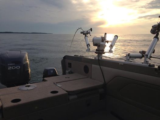
I have a Lund 2150 Baron and have a 60", 112 lb Terrova with iPilot Link on the boat along with a main and kicker motor. It's a great tool and we can easily use it as the only propulsion when trolling. My only issue, and they've already addressed it, is that on the Baron the 60" shaft is just barely long enough to keep the prop in the water so we really only get it's full benefit when the lake is flat. Minn Kota has just recently announced a 72" Terrova so we will likely put one of those on the boat and sell the 60". We've used it as primary propulsion and have also used it as steering control when we're running the kicker. Without it I would have a terrible time trying to get my trolling spread set up, but with it the boat just holds it's line and I can get things in the water pretty quickly when I'm out by myself. I agree with the above statement that it's not a replacement for a first mate or for a stand alone autopilot, but it is a huge help and so far I haven't felt the need to buy a stand alone autopilot for the boat. My guess is that once I get the 72" model that it'll be even more useful for my application as the prop with be at it's specified depth all the time. Something new that I'm really looking forward to is that Lakemaster has finally released a cartography chip with contour lines for Lake O. Because Lakemaster is part of the Johnson Outdoors family, our Humminbird/iPilot Link system reads the chip and we will be able to ask iPilot to follow a specific contour line. That'll be really great in the spring when targeting browns. You'll love iPilot, and for sure get one with Link if you have a Humminbird unit on the boat. -
PM me. I have a guy right here in Ithaca that does a great job dipping. Sent from my SM-G900V using Lake Ontario United mobile app
-
Billy V in Sodus 7/27 PM
Billy V replied to Billy V's topic in New York Fishing Reports - Lake Ontario (South Shore)
 Thanks Sean!
 -
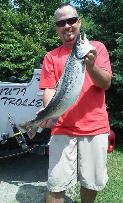
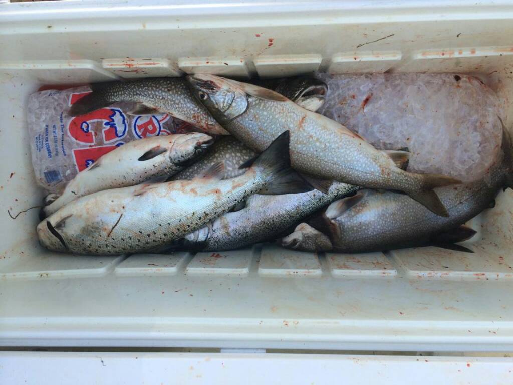
We trailered the Lund up and planned to fish Sunday night in Sodus and Monday in Oswego. Needless to say we didn't make it out on Monday due to the wind, so Sunday night was it. We got set up at about 1:30pm in 3 footers and found lots of marks in 75-80FOW just a tad west of port and worked that for most of the evening. We pulled a few BT's and a rainbow out of that area. When we ventured out deeper to look for majors all we found was a very blank screen. We went as deep as 225FOW and had nothing to show for it so we just decided to work the skinny water to try and move a few rods. DW Lazer Spook, Midnight Special, and Die Hard took the bites fished from bottom up to 50'. We had shots on our 10 color core, riggers, and divers. While it wasn't fast and furious, it certainly felt good to be back on Lake Ontario again and we're already looking forward to our next trip up in August!
-
 Yes they're still for sale!
 -
 Congratulations Rollie. Well done!
 -
Lake is pretty clean.
-
Lake is still too cold for fleas. It's gonna be a while before they show up yet.
-
 I bought a Lund Baron. Lovin' it!
 -
Great day Mike, congrats! Yes, we were out yesterday and poked around a few spots. We'll see just how dialed in we are on Sunday! :smile: The lamprey problem is most prevalent at the south end in the spring and then again lake-wide later in the season. They haven't been bad at all lately and haven't been bad the past few years in June, July, and August. We didn't fish much this spring due to rigging up the new ride, but in years past nearly every fish that we caught out of the south end in the spring would have at least one lamprey on it, and some would have as many as 4 or 5 small eels on it. Later in the season we've had them attach to rigger weights, the back of the boat, etc.and they're much bigger at that point. I'm another that believes that the lamprey problem has significantly impacted this fishery.