

Lucky13
-
Posts
1,234 -
Joined
-
Last visited
Content Type
Profiles
Forums
Events
Gallery
Store
Everything posted by Lucky13
-
SODUS RESTOCKING
Lucky13 replied to john1947's topic in New York Fishing Reports - Lake Ontario (South Shore)
 Lake trout stocking is low this year due to more Federal Hatchery problems.
 -
Olcott 5/18
Lucky13 replied to Major Haul's topic in New York Fishing Reports - Lake Ontario (South Shore)
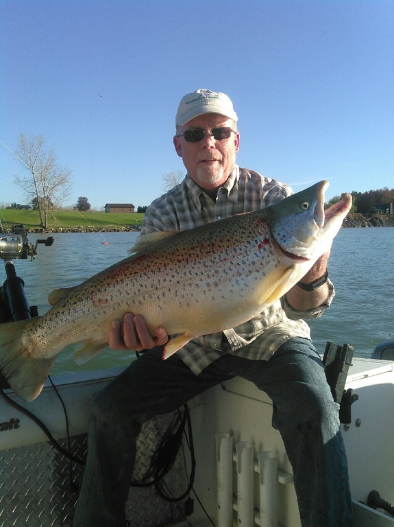 Post spawn four year old that has not put on any weight yet?
 -
I'll see what I can do.
-
Do I need boots? Buckets? Thanks for the instructions. Hope to get out there.
-
Information on where to park and how to get to the pier in light of the flooding would be helpful.
-
New temporary "no-wake" within 500' of shoreline.
Lucky13 replied to John E Powell's topic in Open Lake Discussion
 Outflow has increased by 43% over the last couple of days. http://www.democratandchronicle.com/story/news/2017/05/16/lake-sky-high-despite-outflow-hike/101756820/
 -
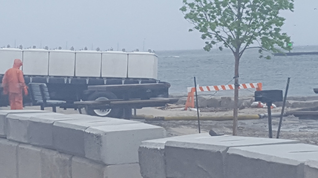
Navigation Law for I Bay was modified some years ago to a 200' from shore no wake zone as has been done on a lot of lakes in NYS. There are some steep bluffs that are subject to a lot of slope toe erosion from boat wakes in a normal year, with the high water this year there is water right up to the doors of many properties in German Village and other shore side hamlets. If you need to get from the south end to the outlet, troll, the browns are in the bay as well as the lake! As another here said, much more negligence in caring for the shore properties by boaters, they could just close the bay to motorized traffic. I have a strong suspicion that it is not fishermen running like this, but if they close it everyone suffers.
-
New temporary "no-wake" within 500' of shoreline.
Lucky13 replied to John E Powell's topic in Open Lake Discussion
Nice link, thx! -
New temporary "no-wake" within 500' of shoreline.
Lucky13 replied to John E Powell's topic in Open Lake Discussion
You do have quotable sources for those allegations, right? I've seen nothing on any press anywhere to indicate any of this, maybe the Russians have all the evidence? According to the USACE daily reports, Superior is 5" higher than long term average, Michigan/Huron is 11" over long term average, Lake St Clair and Erie are 20" long term average, and Ontario is 32" over long term average. In February, Ontario was ~8" over long term average, in March ~14" over long term average. Where did they store that 3 feet of water they held back last summer when the lake was so low last fall? I know it is difficult for people who need to place blame to consider science and facts, but this is clearly charted as a result of the extremely high rainfall we've received in the last month and a half, almost as much rainfall as they have received over the drainage area of Montreal. How many Power stations are generating? I thought it was one, Moses Saunders. What is its capacity, can it generate unlimited energy with more water? Plants of which I am aware have maximum capacities, in some, more water means no generation. A lot of the damaged property is built right on the water, a lot of the affected people didn't bother to carry flood insurance. My old Spanish friends have a saying, when you mess with the bull, sometimes you get the horns. Huge areas of Montreal are as much as 4 feet deep as reported by Adam Choduk last week. -
New temporary "no-wake" within 500' of shoreline.
Lucky13 replied to John E Powell's topic in Open Lake Discussion
Adam Choduck from Channel 8 went up to Montreal, was interviewed on Bob Lonsberry last hour. He spoke with two Board of Control members, one was Frank Sciramammano. They reiterated that the current situation was caused by the rains. According to his reports, there is currently no downstream capacity, in some areas of Montreal water is 4 or more feet deep in the roads. Frank did say that "dewatering" the lake is problematic under 2014, as they need a unanimous vote of the board. There may be a detailed report on Channel 8 news later. The predictions in the USACE chart I posted the link for indicate high water into late summer or early fall. -
New temporary "no-wake" within 500' of shoreline.
Lucky13 replied to John E Powell's topic in Open Lake Discussion
http://w3.lre.usace.army.mil/hh/ForecastData/DailyLevelsEnglish.pdf They were staying pretty close to 2016 levels until the April rains. Flooding is an issue all over the place this year, Black Creek, Oatka Creek, and Irondequoit Creek were all out of bank on Saturday into Sunday. we really need a dry spell for a while. -
New temporary "no-wake" within 500' of shoreline.
Lucky13 replied to John E Powell's topic in Open Lake Discussion
The 2014 plan did not become effective on LO until 1/1/2017, last summer they were still working with 58 d. And the lake was extremely low last fall, USACE was unable to complete their work in Braddocks then due to low water making it impossible to get their dredge in. I agree about funding for compensation, many years ago Don Zelazny, the Great Lakes Coordinator for NYSDEC, spoke to the need for mitigation for damages in any plan put forward, but somehow that escaped the attention of the Feds. But even Frank Sciremammano, who heads the Control Board and has been a vocal critic of Plan 2014 has indicated that which plan makes no difference in this discussion, this is caused by the extraordinary rains of early April. -
New temporary "no-wake" within 500' of shoreline.
Lucky13 replied to John E Powell's topic in Open Lake Discussion
http://ijc.org/greatlakesconnection/en/2017/04/lake-ontario-st-lawrence-river-levels-rise-following-april-rains/ -
New temporary "no-wake" within 500' of shoreline.
Lucky13 replied to John E Powell's topic in Open Lake Discussion
You can be held liable for any damage that can be attributed to your wake, so it makes sense to keep it very slow. I've heard reports that the bluffs on the Webster side have been sloughing off, send a big wall of water into German Village and you might draw some attention from the homeowners. -
Most of the brook trout habitat in Western NY is posted. Occasionally a wild brookie drops down as far as Powder Mill Park on Irondequoit Creek, and there are a few fish in Spring Brook in Mumford. Both of those streams predominately support introduced Brown Trout, with the brookies being few and far between. Many of the tributaries to the Finger Lakes have some brook trout in the headwaters, again few and far between, but if you like hiking to fish, High Tor has some ponds and the headwaters of Naples Creek feeders. There are a couple of public access points to the upper Cohocton, and knocking on a door for permission might get you some additional access. For solid fishing to a lot of fish, you need to travel to the Tug Hill Plateau, where the fish are common, if small, or the Adirondacks. The best fish in the 'dacks are generally found in the ponds, but there is some decent stream fishing especially along the north slope. DEC Webite for Lewis, Oswego, Oneida, Herkimer, Hamilton, Essex, and St Lawrence Counties for starters.
-
From the Corps: "The contractors are placing stone to construct the low sill for the new emergent wetland located off the central marsh. Once they finish placing the stone, they will fill it with dredge material to bring it up to a suitable elevation. They are also working a bit on filling the barrier beach with sand, but are taking it slow with the high water levels, trying to buy some time for water level to drop. "
-
New temporary "no-wake" within 500' of shoreline.
Lucky13 replied to John E Powell's topic in Open Lake Discussion
No spigot on the Niagara River! -
Take that advice seriously, this lake can switch around VERY quickly.
-
Thanks for correcting me.
-
New temporary "no-wake" within 500' of shoreline.
Lucky13 replied to John E Powell's topic in Open Lake Discussion
http://www.democratandchronicle.com/story/news/2017/05/06/montreal-canada-flooding-rochester-lake-ontario-st-lawrence-dam/101279100/ -
I have been told that Rochester could not get the fish early enough for the imprinting to occur, so the pens were pulled and the fish were/are being direct stocked to the river. This is a shame considering the hard work of the Genesee Charter guys. I have also heard the same for Sandy Creek but only as scuttlebutt, while I saw an e-mail from Dream Catcher about the Genesee Pens.
-
Infrastructure gets built on the basis of a cost benefit analysis. If you need a bridge over a river and the population density in the area is very low, therefore few users, the bridge probably won't get built (except in Alaska!) Wastewater facilities are normally sized to handle up to a 10 year return frequency event, after which some portion of the waste gets discharged. Costs rise astronomically as the actual use of the facility goes way down above the 10 year event. This is complicated, however, by the changes in frequency and intensity of rainfall events which is attributed by many scientists to climate change (whatever the cause, it has been documented on the Toronto side of the lake by researchers from Guelph, and for Monroe County by William Coon of USGS in Ithaca, among others around the country.) So a plant like Van Lare was sized for a storm intensity that is getting exceeded more and more frequently, and there are then more discharges to the river. The problem on Long Pond is some residents hooking basement drain and pump systems to the sanitary sewer and exceeding its capacity in events like this, that is just good old American selfishness (and a violation of Town and county sewer laws.)
-
I Bay Fri Apr 28
Lucky13 replied to MrKato's topic in New York Fishing Reports - Lake Ontario (South Shore)
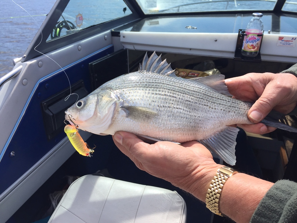 True dat. There is also no such thing as a Sheepshead ( Freshwater Drum) or a Calico or Strawberry Bass (Crappie) and in Maine a Lake Trout is a Togue. Don't pass up the pickerel on the menu in Ontario, that is what they call walleye. A lot of local names for fish, if there is a point maybe just stick to the latin. My sense of I Bay is that they go through cycles, and there are a lot now, but a few years ago, the catch was mostly yellow perch.
 -
I Bay Fri Apr 28
Lucky13 replied to MrKato's topic in New York Fishing Reports - Lake Ontario (South Shore)
30 or more years ago, silver bass was the name that most fishers around here used for White Perch. The bay and the Greece Ponds used to be loaded with them, but as the water has cleaned up, other fish are competing with them more successfully, so they are not as dominant. -
Walleyes run up into the tributaries to spawn, they may have been impacted by the high water events, but should have had no trouble getting up the streams and been well protected from the nighttime poachers. Esocids like northerns spawn in flooded shallows, often meadow areas adjacent to wetlands and water bodies. High water like this should allow the eggs to hatch and the larval fish to get out into the main flows as the water recedes. It is years when the shallows flood and then recede before the eggs hatch that have a negative impact on Pike. It does not look like that will be problem this year.