


LongLine
-
Posts
4,333 -
Joined
-
Last visited
Content Type
Profiles
Forums
Events
Gallery
Store
Everything posted by LongLine
-
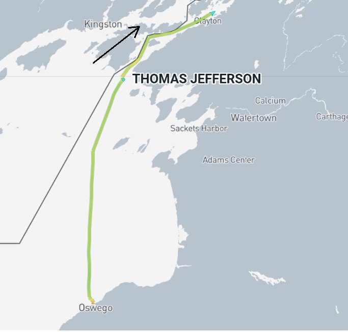 Looks like "Kids" played real hard: So "Mom" picked them up and maybe it's "nap time?"
 -
If no luck on the normal E-W troll, then try the N-S. (But watch out for the CDCG! I wonder what it'd cost to get that boat back. ) "Little cousin" tired of bouncing around in that north wind on the Genny or mission accomplished?
-
Genny 27 JUL 2026
LongLine replied to Skins's topic in New York Fishing Reports - Lake Ontario (South Shore)
Flying solo can be a lot of work but also a lot of fun. Wait till you get a double or even triple on. Had a triple on once and that was near heart attack time! -
Downrigher lines crossing
LongLine replied to Rtrucking40's topic in Questions About Trout & Salmon Trolling?
Take a straight edge (cardboard or pc of wood) and hold alongside the shark from nose to tail. Over a few months of storing Herbies on their side, I've seen soft lead take a slight bend. Easy to check and eliminate. -
Nothing in close so "When in doubt, head out"
-
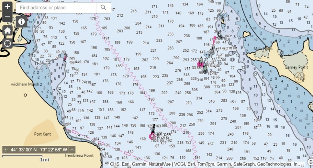 Sk8 - Here's part of Sodus Bay: Simply put your cursor over the rectangle you're interested in and zoom in. It may take a few seconds to come up. (keep zooming till you get the detail you want) They don't have all the fingers but here's parts of Seneca, Cayuga and Oneida. Here's part of Champlain: Have fun playing with it.
 -
NOAA Custom Chart Huh? Did you copy/paste it in your browser?
-
Downrigher lines crossing
LongLine replied to Rtrucking40's topic in Questions About Trout & Salmon Trolling?
1 - Eyelets could be bent or twisted 2 - At that depth, turns could be too short 3 - At that depth, leads could be too long. You didn't say if you switched sides with the weights. Easy way to tell if you've entered an area with a different current is with a constant RPM, watch your down speed. -
If following depth contours, then there's some great structure there.
-
Sodus must be pretty interesting. "Little cousin" just getting out of bed at the Genny.
-
Chart off Sodus should get a pretty good update in the 60-100 FOW range.
-
We've all been there: If nothing biting inshore then try offshore and if no bites there, go back inshore: (or maybe they heard a fisherman lie about catching a big one offshore )
-
Well, Mom dropped the kids off near the beach early today then headed back out to work. Little cousin still in bed at the Genny. Hey Tom. Yeah, been a long time. Hope all's well. That deepworld.org is quite a site. Those guys can dive deep! Didn't realize there are derelicts/wrecks at Krenzer Marine. Did you check out the thread on NOAA Nav Charts? It's a totally free site and kept up to date. Great for finding structure in many areas and if you have waypoints, can see exactly where you are. Glad to see these tax dollars work. (Don't tell Washington. )
-
NOAA has online Nav charts that they keep updated. They have instructions, videos and are savable and printable. https://devgis.charttools.noaa.gov/pod/ Move to an area of interest, zoom in and click on a rectangle: If you play with the zoom, and do some moving around, you can get some interesting detail: The Genny: Sandy: Fair Haven: What's really cool is that if you put cursor over structure, obstruction, or interesting feature, it will give you coordinates.
-
TJ gone deep: (and may have found something) Little guy out of the Genny working off Durand and a lot closer today: (ducked in the bay for a "storm break" then back out:
-
"Big Dog" and "pups" going to get a workout off Sodus today: "Little Cousin" off the Genny in about 85 FOW.
-
"Little guy" at the Genny is back at today, only quite a bit deeper: TJ is still at Oswego. Interestingly, there is a 600 ft bulk carrier from the Marshal Islands also there. Didn't know Oswego could handle that big a ship.
-
Question to any DEC official reading this.
LongLine replied to rolmops's topic in Open Lake Discussion
Rolmops - Because there is a lot more involved than just the deck. They're going after new piles and abutments. Project was proposed last year. Here's the project: https://dec.ny.gov/news/environmental-notice-bulletin/2025-02-19/completed-application/town-of-hamlin-sandy-creek-fas-boat-launch "Project Description: Proposed improvements to the existing boat launch at NYSDEC's Public Fishing Access Site to Sandy Creek. Construction will include an approximately 888 SF permanent dock on 3-inch piles, 135.6 SF concrete abutments, and 2,112 SF concrete ramp to be reconstructed. Work will involve approximately 0.7 acres of disturbance to a NYS-regulated Class 1 freshwater wetland and approximately 182 SF of fill below mean-high water level of Sandy Creek, a Class C navigable stream." -
With storm past, it's back to work for the NRTNL. 2904 exploring up the Oswego River near the main dock.
-
With solid 4 ft'rs out of the west, NRTNL pulled out and back on trailer at 3:30: At least 2904 took a real good look at Oswego Harbor:
-
I always thought shipwrecks in our area were just small guys, and deep. A couple are pretty big and shallow! Publicly known wrecks along our shore: https://www.shipwreckworld.com/maps/ 1. Milan - 2 masted schooner sank 1849 2. Undine - 2 masted schooner sank 1890 3. Laura Grace - Wooden Tugboat sank 1920 4. Henry Roney - schooner sank 1879 5. CG 56022 - Converted landing craft sank 1977 6. Homer Warren - 178 ft steam freighter sank 1919 7. St. Peter - 136 ft 3 masted schooner sank 1898 8. Etta Belle - 2 masted schooner sank 1873
-
Little guy off the Genny going to stay close today before the waves kick up. 2904 taking a close look on the inside of the west Oswego harbor.
-
With the TJ still in Oswego, playing around with it's 2904, the trailerable "little guy" got some gas at the Genny and headed out to bounce around the 20 Line:
-
It used to be thought that smallmouth on Lake O lived 6-8 yrs but this study of Tournament bass on East end shows many live over 10 yrs and some even 20 yrs. WOW! Black bass in Great Lakes can live more than 10 years, study finds | Great Lakes Echo Theory holds that as population number decreases; size of survivors increases. Does Mother Nature also say surviving spawn of older and bigger fish will be longer lived and bigger as a mechanism of survival?
-
While the TJ is in Oswego, the "little guy" is hard at work off I-BAY: